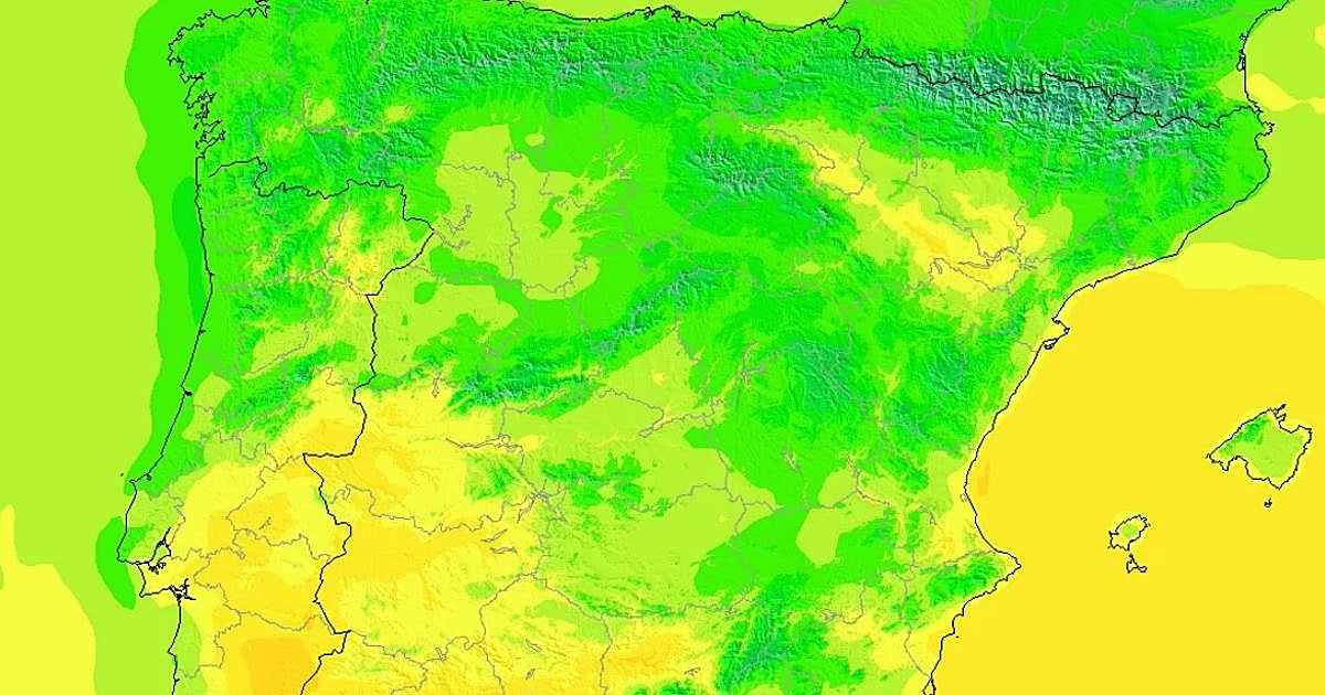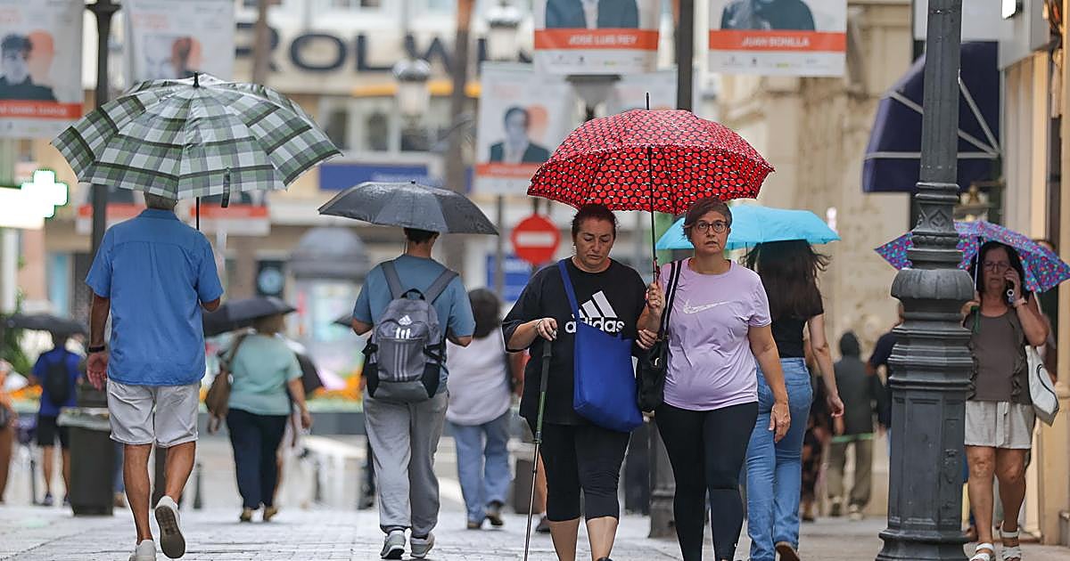
This Friday, an autumn day is expected in Spain, with maximum temperatures below 20 degrees in several provinces and minimums that will drop, reaching values below 5 degrees in some northern areas. #Tiempo #AEMET #Otoño (translated)

This Friday, an autumn day is expected in Spain, with maximum temperatures below 20 degrees in several provinces and minimums that will drop, reaching values below 5 degrees in some northern areas. #Tiempo #AEMET #Otoño (translated)

The Aemet warns of a radical change in the weather for the Pilar Bridge, anticipating general stability in the Peninsula, but alerting about the possibility of storms and rains in areas of Ceuta, Balearic Islands, and Canary Islands, on the 9th and 10th of October. #PuenteDelPilar #Aemet #TiempoEspaña (translated)

Aemet has warned about the arrival of severe storms and a notable drop in temperatures during the Puente del Pilar, especially in the southwestern peninsula and the Balearic Islands. #Tormentas #Lluvias #PuenteDelPilar (translated)

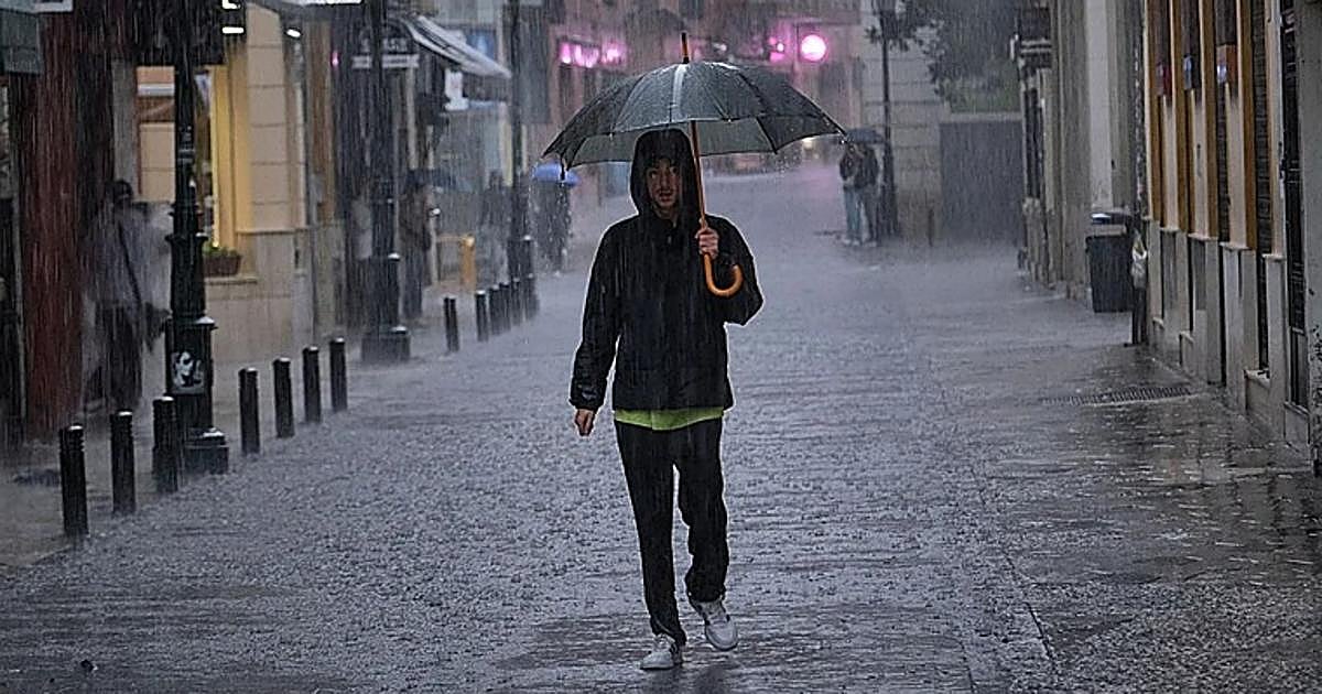
The rain will continue this Wednesday with heavy showers in eight autonomous communities, according to the State Meteorological Agency, while temperatures will drop noticeably in much of the country. #Lluvias #Tiempo #AEMET (translated)

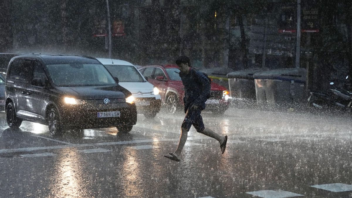
Spain faces heavy rains and storms today in large parts of the country, with active warnings in nine communities, with Catalonia being the most affected according to the State Agency of Meteorology (Aemet). #Lluvias #AEMET #TiempoEspaña (translated)

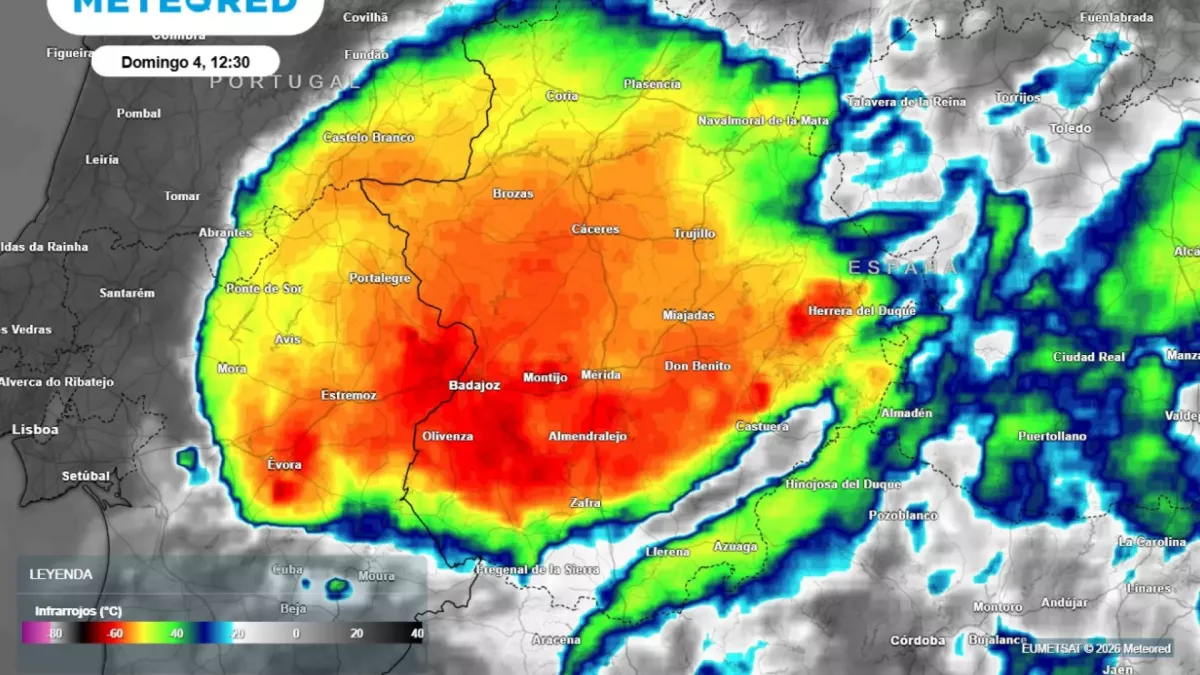
The spokesperson for Aemet, Rubén del Campo, detailed that in Vilasar de Dalt, 176 liters per square meter were accumulated in just six hours between Saturday night and early Sunday morning, and that on Sunday a torrential downpour was also recorded in Barca Rota, province of Badajoz, with 70 liters per square meter in just one hour. #Tormentas #Rayos #LluviasTorrenciales (translated)
Aemet forecasts intense rains this week across Spain, activating alerts in nine communities, especially in Catalonia, where warnings are issued about the possibility of storms and hail. #Lluvias #AEMET #Clima (translated)

Aemet attributes the recent exceptional episodes of rain on the Mediterranean coast to the release of energy accumulated in the sea during the summer, evidenced by water temperatures above 26°C, further complicated by the lack of marked atmospheric conditions. #LluviasTorrenciales #CalentamientoGlobal #Aemet (translated)

Aemet has raised the alert to red in Badajoz due to torrential rains being recorded in the Barros and Serena regions, with precipitation exceeding 60 liters per square meter in one hour. #Badajoz #alertaroja #lluvias (translated)

Catalonia is at the highest level of danger due to the torrential rains expected this Saturday afternoon, with accumulations of up to 90 mm in 30 minutes and possible flooding. #Catalunya #lluvies #AEMET (translated)

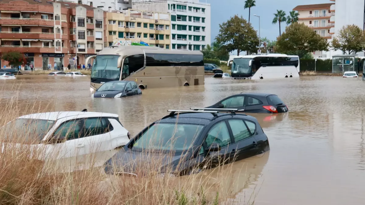
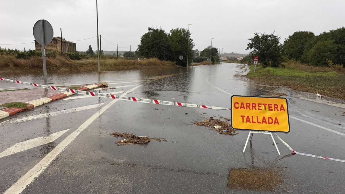
Eastern Spain was struck by extreme downpours that caused flash floods, requiring the intervention of firefighters in several areas, with the Meteorological Agency AEMET issuing the highest red alert for parts of the coast. #Bouřky #Záplavy #Španělsko (translated)

Aemet has announced the arrival of a new dana that will cause torrential rains and strong storms in various areas of Spain, especially in the eastern third and the Mediterranean regions. #Aemet #DANA #Tormentas (translated)

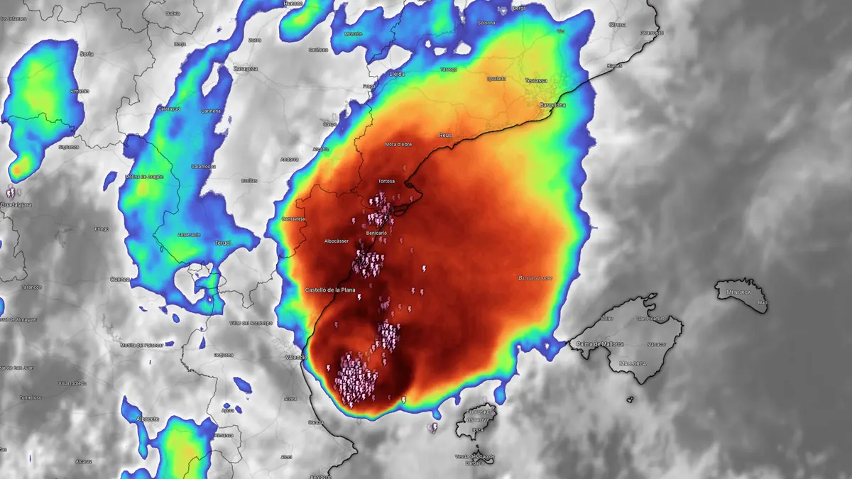
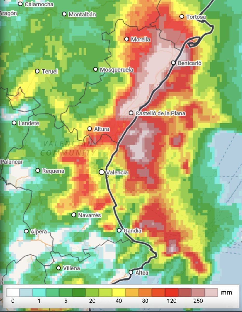
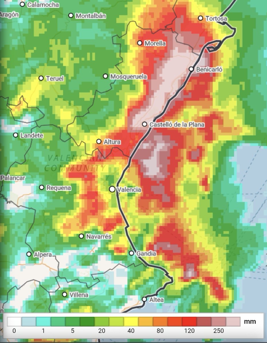
The Aemet maintains the red warning on the coast of Castellón due to the forecast of rainfall that could reach up to 250 liters per square meter, which has led to the suspension of classes in several educational centers in the Valencian Community. #Temporal #Lluvias #ComunitatValenciana (translated)

Torrential rains continue this Friday in Spain, mainly affecting Catalonia and the Valencian Community, while Aemet issues red warnings for heavy rainfall in several autonomous communities. #LluviasTorrenciales #Aemet #Temporal (translated)

The usual critiques are already starting, so it's worthwhile to put on the table how meteorological science works in an episode like this. The numerical models showed a clear scenario of irregular but high-impact storms. In this configuration, the key is not that it rains everywhere equally, but the danger where storms form and barely move: torrential intensities (>90 mm/1h) and critical accumulations (>180 mm/12h). We don't work with a crystal ball; we work with supercomputers that solve millions of mathematical equations to project the future atmosphere. Why is it so complex to specify the exact municipality? Unlike a winter storm with continuous and organized fronts, the physics of these storms is much more complex. They depend on how winds collide on a microscale, humidity, and relief over just a few kilometers. They do not follow a rigid pattern: they move and regenerate where that flow collision occurs, and modeling that to the millimeter is a huge challenge. Science always has room for improvement, of course. But before blaming meteorologists and @AEMET_Esp, it's worth remembering the rigor and constant vigilance behind issuing warnings that save lives. #Meteorología #Ciencia #Clima (translated)
🔴 What could happen in the next few hours? AEMET expects rainfall of up to 90 l/m² in one hour and accumulations of 250-300 l/m² in 12 hours in the most affected areas of the arch between Valencia, Castellón, and southern Tarragona. But some models see amounts that are even quite... https://t.co/U48UHMK0pd #Lluvias #AEMET #Clima #ES (translated)
Renfe has suspended the circulation of Cercanías trains in Valencia and Media Distancia services due to the red alert for rain issued by AEMET. #Renfe #València #alertaRoja (translated)

Renfe has suspended three long-distance services between Catalonia and the Valencia Community due to the red alert for rain and storms issued by the State Meteorological Agency (Aemet). #Lluvias #Tormentas #AvisoRojo (translated)

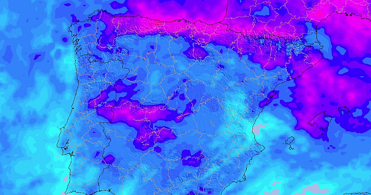
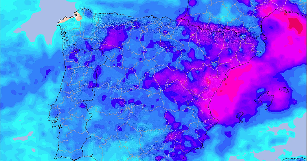
⚠️ATTENTION AFFECTED AREAS DANA 29-O⚠️ ➡️Although this situation is of high danger, it is not a scenario in any way similar to 29-O. The most intense rainfall will be in a much smaller area, closer to the coast and of shorter duration, thus reducing the risk of river and ravine overflow. 🚨The risk will be rainfall flooding (the drainage system is not capable of handling the rainwater) but maintaining the risk (with lower probability) of some local overflow, especially in the NORTH OF CASTELLÓN where the rainfall may be more intense inland. ⚠️Even so, we repeat that this is a situation of much uncertainty and difficult forecasting. There is a possibility that storms may occur at sea or with greater or lesser intensity than predicted. The red alert is CORRECT from AEMET. 📲🔴About the Es-Alert: it has been used to notify of the red alert that comes into effect from 18:00 and ends at 1:59 on Friday. In this tweet, we will not comment on its use; we will leave that for after the episode. 🗺Map: Accumulated precipitation in 12h https://t.co/A6YUIBXlF2 https://t.co/A6YUIBXlF2 #Dana29O #Inundaciones #Clima (translated)
The Aemet has activated red alerts in Tarragona, Castellón, and Valencia due to the heavy rains and storms expected in the coming hours. #Aemet #Tormentas #Lluvias (translated)